foothills
reimagined
the basis of this project began with reading Raynard Banham’s Four Ecologies: surfurbia, the foothills, plains of id, and autopia. from there, along with 2 other peers, I dove further into the foothills ecology of Los Angeles, and took on the challenge of redesigning a 1 mile x 1 mile sector of this environment in a topography we together created. it is important to note that this redesign had to house 1 million residents with an FAR of 5.
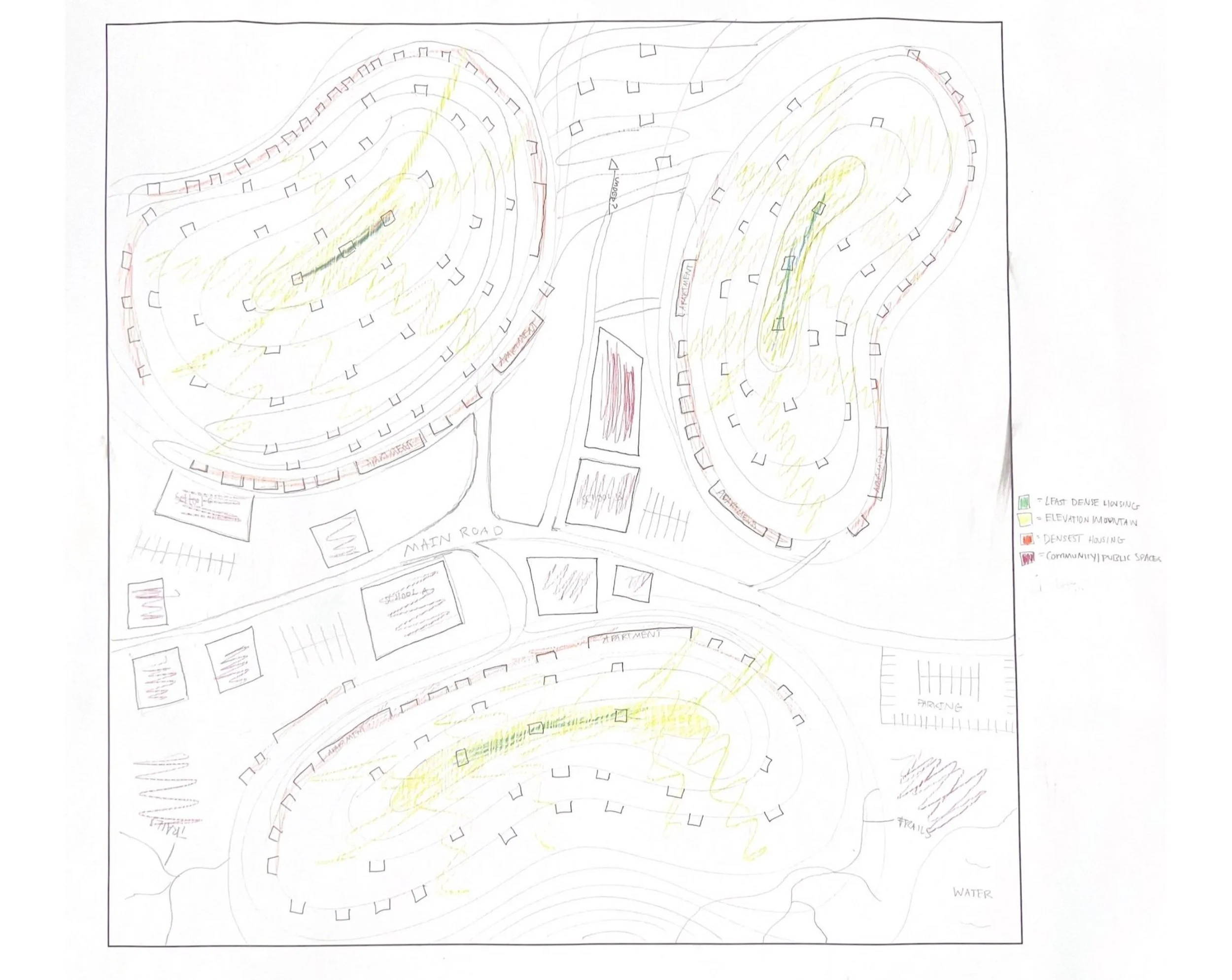
above are the beginning sketches and diagrams for our redesigned foothills using features of crops from existing foothills neighborhoods in LA such as Laurel Canyon and Beverly Hillsthrough exploration of exisiting communties, some problems identified were lack of community, difficult terrain for transport, dangers with natural disaster, etc.
development of the square mile was led by the creation of a pinnacle. This main structure would house the highest density of the population of the area, as well as several commercial, civic, and community facilities.
our created topography featured two valleys with a peak in the middle containing the main road for the area. we decided to employ the topography to create a dam system between the two sides (with part of the peak carved out) providing hydroelectric power for the square mile. the pinnacle is tucked into one of the valleys, while the other tries to maintain the nature and beauty of the foothills for seclusion and separation in such a dense redesign.
DIAGRAMMING
(left) physical model diagramming red for high density, housing pink for medium density, light pink for light density; as well as, yellow for public transport, green for walking, and blue for main roads. (top) diagram playing on the idea of how medium density structures could interact with the streets and walking paths that run along the hills. (bottom) early diagramming calling out the dam feature of the topography with concepts of utilizing this dam’s power for utility purposes of the dense square mile.after developing the foothills ecology overall, the square mile was then divided into three parts for group members to individually develop. considerations such as road systems, ecological edges, and boundaries of the compact pinnacle were used to make the final division of the foothills.
my personal sector focused on the surrounding area of the pinnacle, meaning key developments were about hillside circulation, structural dillution from the pinnacle, and creation of the mid-density buildings.
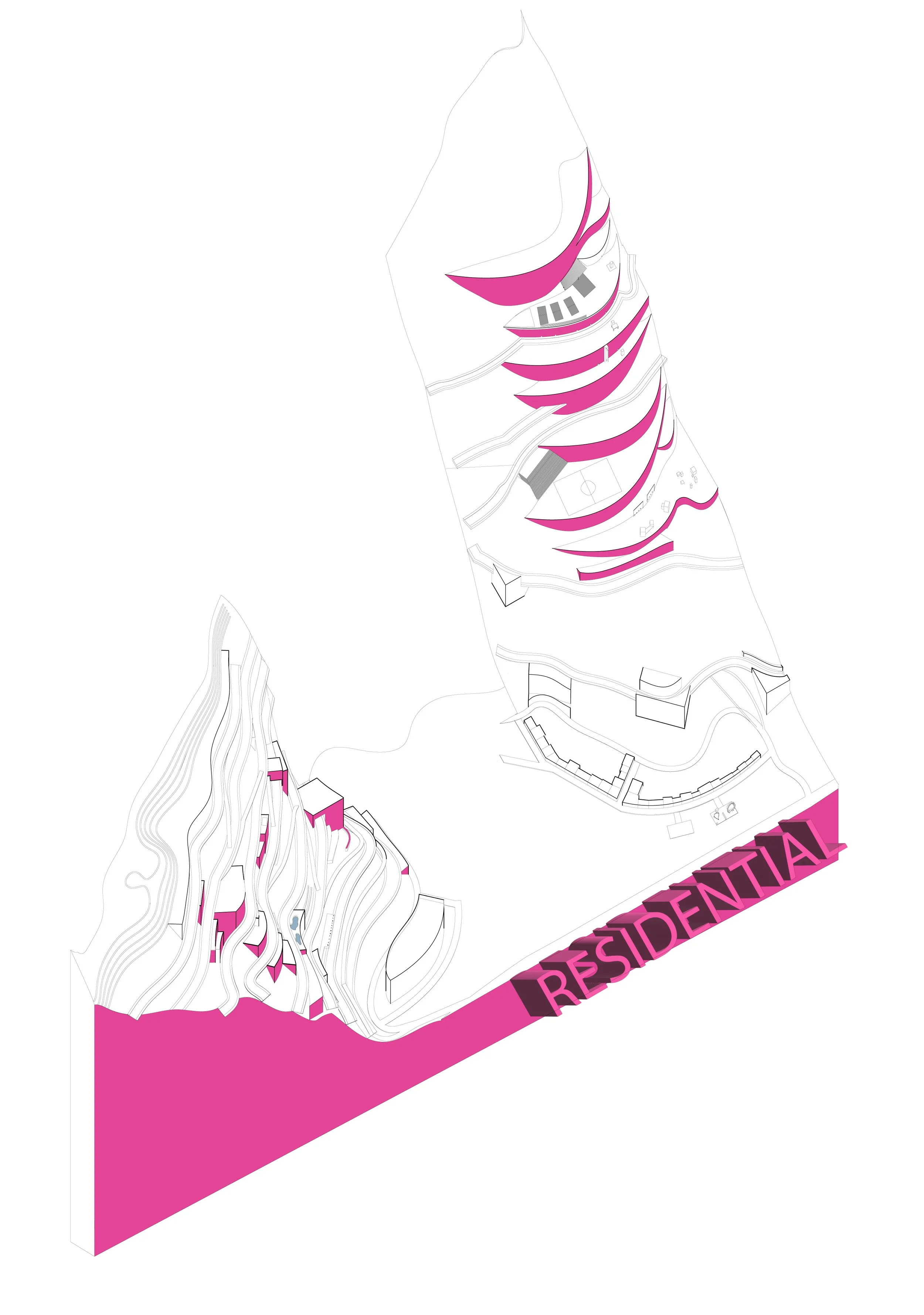
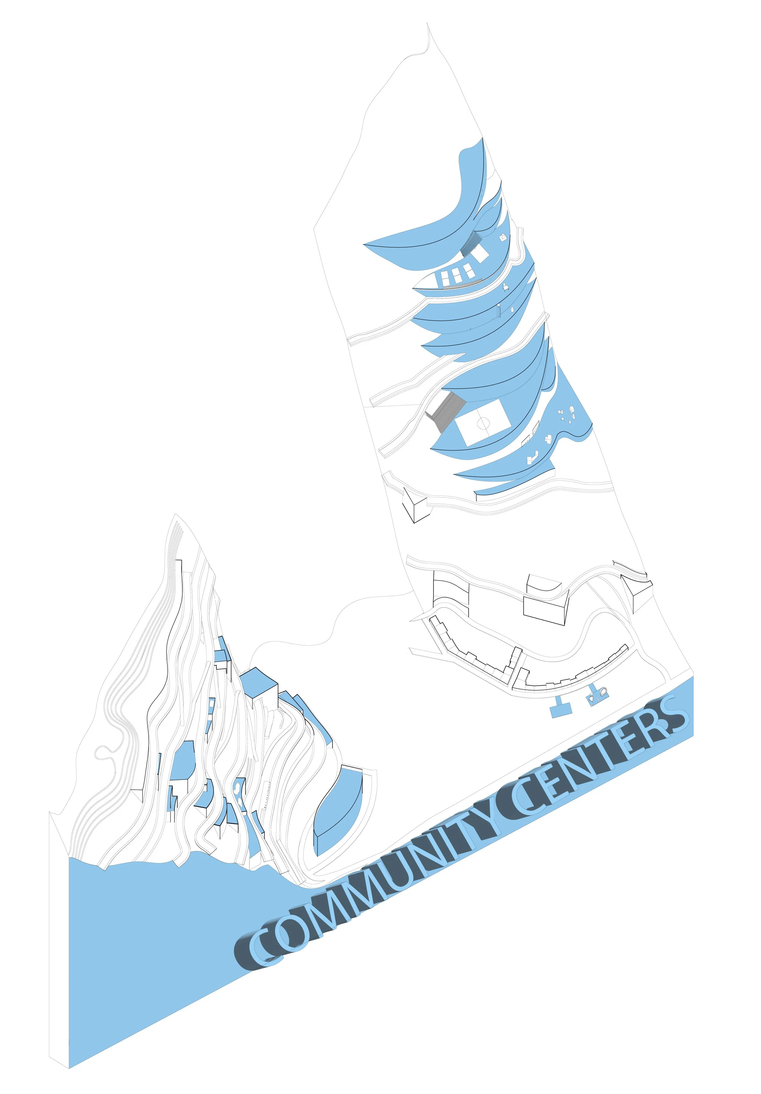
a color-coded system throughout the drawings was used to convey program use and function across spaces of the sector1
2
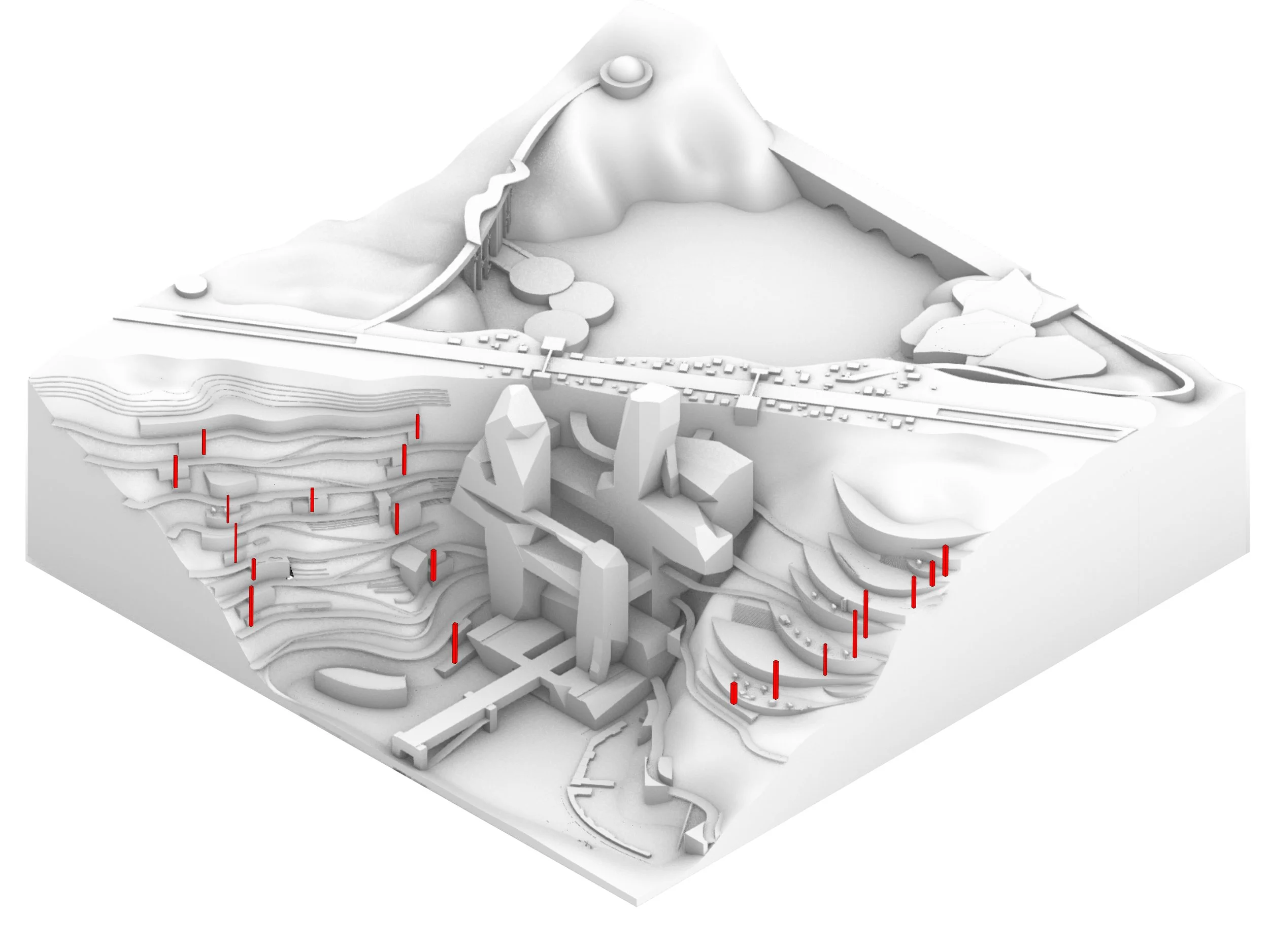
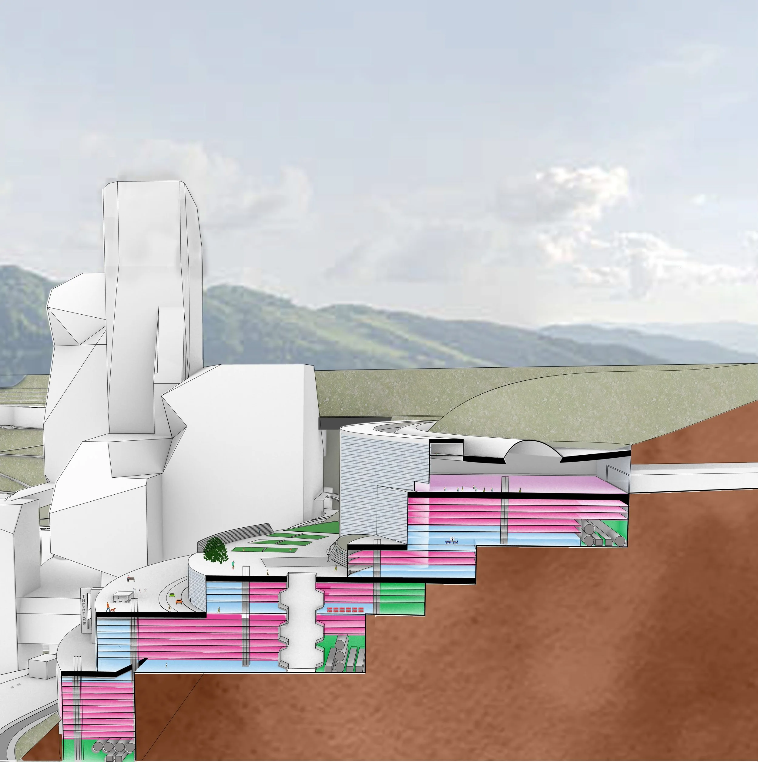
a main theme of my sector was creating both vertical and lateral ciruclation methods to traverse the difficult terrain from structure to structure. vertical connection within buildings are called out in image 2 above, and lateral connections ( some through the pinnacle) are pictured in image 3. the idea of terraced farming was implaced to help feed the square mile whilst using the natural topography as seen in image 4, and a tunnel from the more dense to secluded side was explored as seen in image 1.
3
4
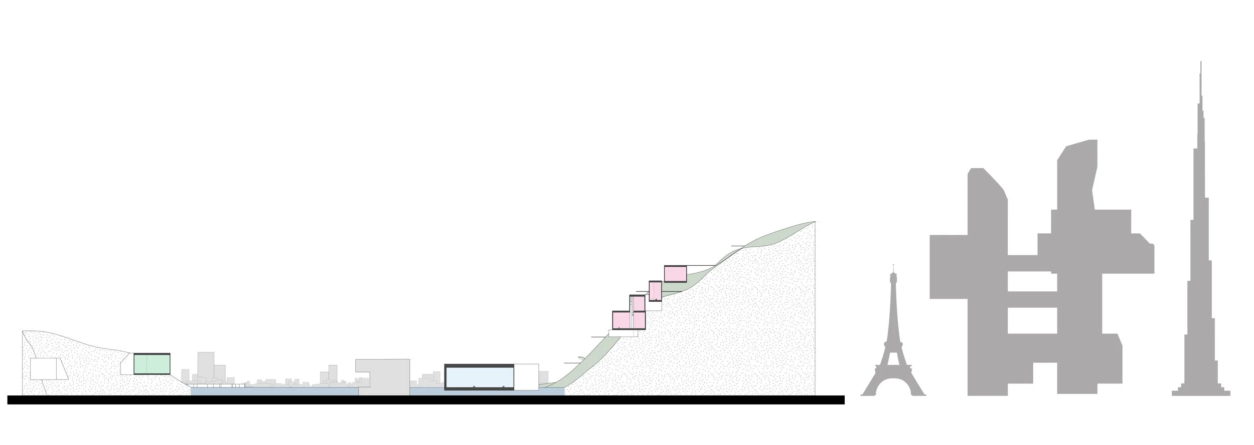
conceptulization of using terraced structures upon the hillside with these inner vertical circulation methods to make the terrain easier to get around level to level. 


